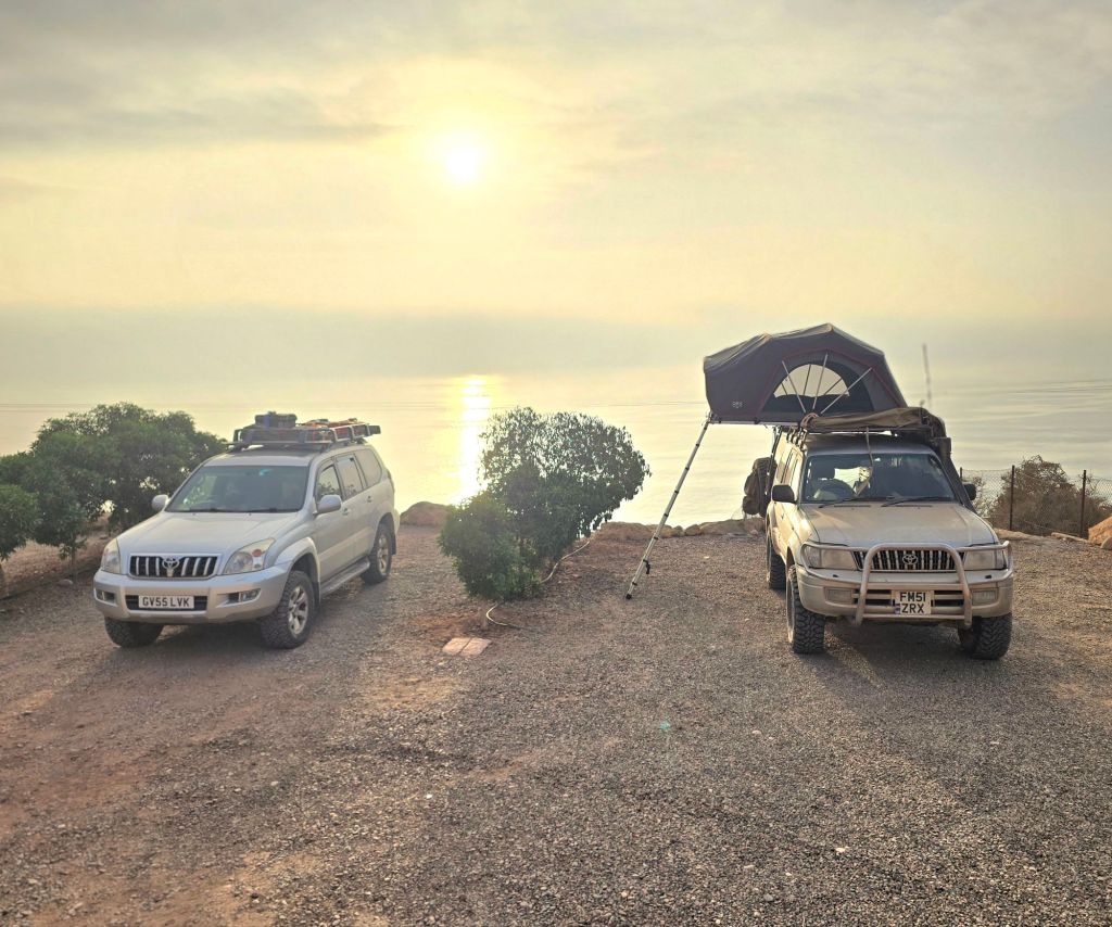
Epic idea from Chris Scott, and some genuinely fantastic work by him, and all his support crew, to record and maintain a GPX route crossing Morocco off road.
Designed at heart for bikers, and stitched together from decades of bike touring in country, the legs are well mapped, fuel stops plentiful and yet the tracks are still challenging, even for dirt bikes.
RC is taking up the excitement and attempting the whole traverse by 4×4. This is in parts much easier, notably over anything involving extended days and long ranges, and in parts harder, particularly over very broken ground or wadis with severe ‘drop-ins’ and exits.
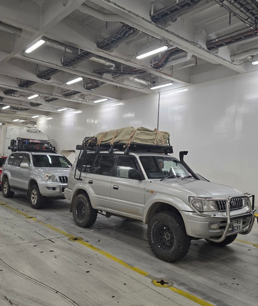
From the start point on the north, Mediterranean, coast of Morocco, the trail heads south, directly off road, with an exposed mountain ascent and descent to start with.
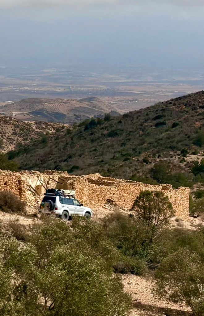
The highlight of the north eastern section are the vast expanses of the Rekkam Plateau, a volcanic field plain, last active 1.4 million years ago. Nirvana for serious overlanders, with limited fuel stops, even fewer shops and thousands of square kilometers of open plain.
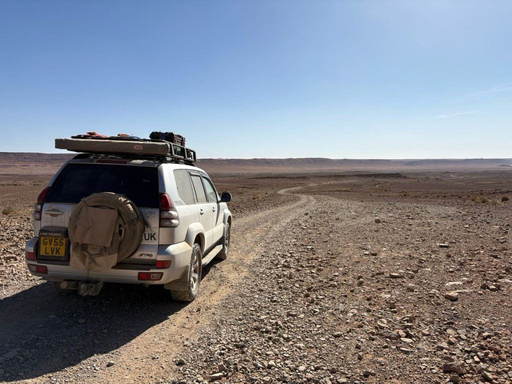
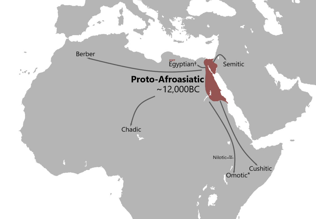
Local vehicle tracks were few and far between, and the traces of habitation were very isolated nomadic settlements. The Berber are the local tribe here in this eastern region of Morocco; poor and rural, they live in great contrast to the developed areas on the west coast. The Berber are a proto-afroasiatic people, related to the Egyptian and the Cushitic cultures, not sub-saharan and still distinctly intact culturally.
Efforts are underway to integrate them, and new road and infrastructure building projects are pushing into this high altitude area.
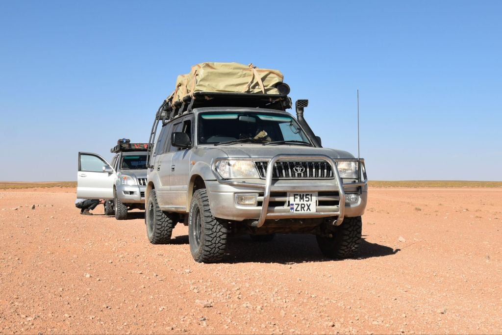
To the south of the Rekkam, wadi systems, although small, require careful slow speed descent and ascent, and even more careful navigation to plot a course through.
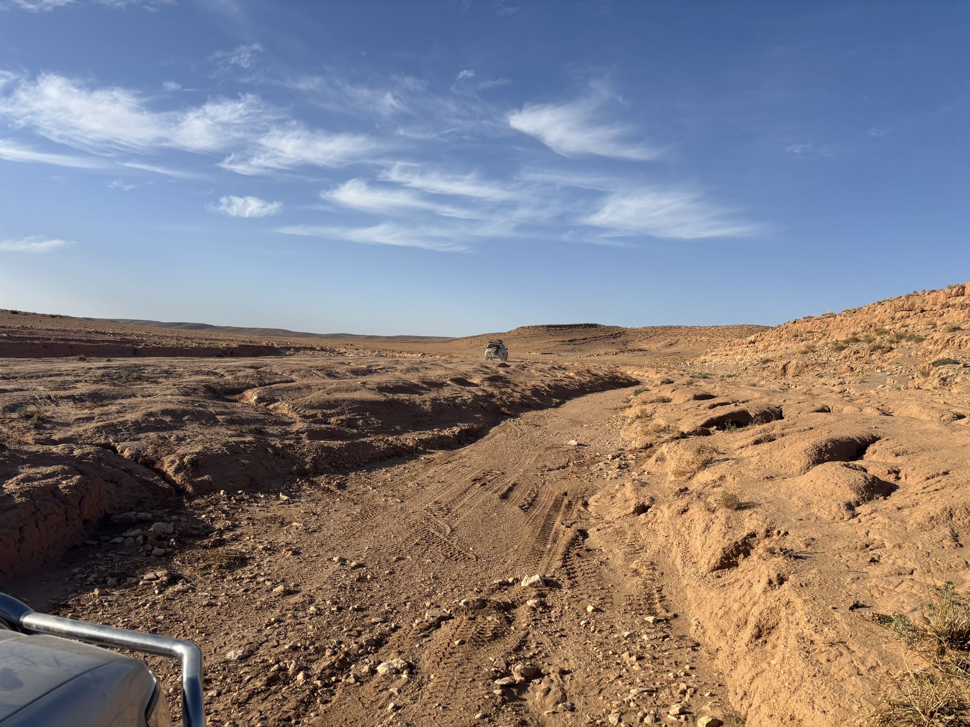
North of Boudnib the trail becomes exposed and comprised of shattered rock, sometimes forming prominent steps due to the underlying sedimentary rock formation. It is here that underbody vehicle bash plates have a role, alongside careful positioning to protect exposed sumps, differentials and exhausts.
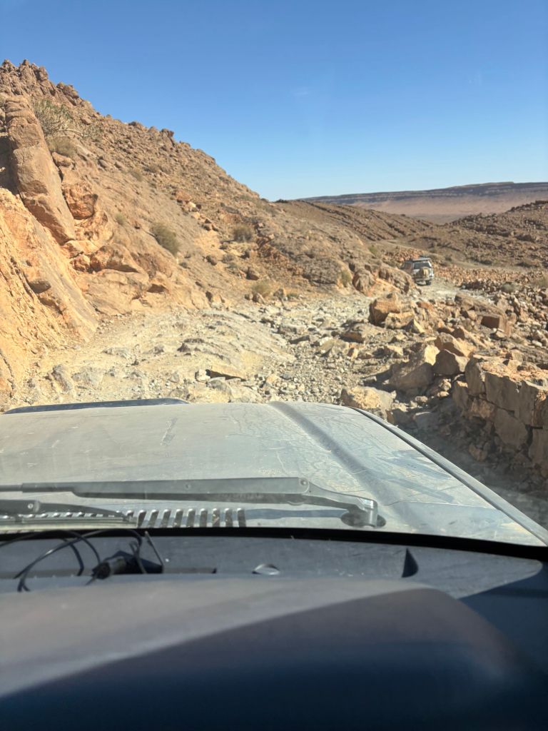
South of Boudnib the trail follows a well graded, lonely, military service track running parallel to the Algerian border, traversing an arid and very dusty plain.
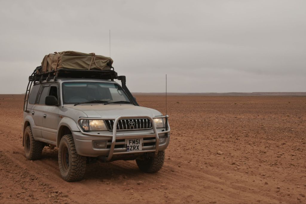
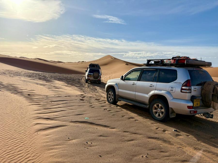
The trail descends from the arid tabletop into a deep rock wadi, where towering cliffs on both sides overlook the trail until it emerges further south and at the beginnings of small sand dune systems, often forming east-west barriers which must be crossed. A centre locking differential and low tyre pressures are needed at several points, preferably engaged before any soft sand obstacles, not on top of them.
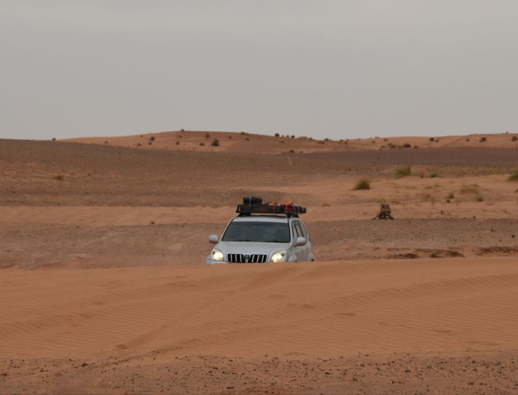
The trail now enters the northern activity area of Merzouga. Chains of dune buggies, blacked out ‘batmobiles’ and many Landcruisers buzz around the flat rocky desert hamada area to the north of the Erg Chebbi sand sea and into the fringes of the dune systems. The prominent red wind blown sand dunes reach a height of 150m in places and are one of Morocco’s great natural sights, and a busy hub for tourism. All roads south lead up to the towns of Merzouga and Rissani, evidencing their past as trading posts on caravan routes to and from the North African interior.
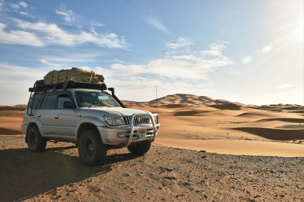
The next leg enters an astonishing area of vast tectonic pressure ridges, wide plains and sandy wadi systems. Isolated and barren, the Rally Maroc, and the original Paris-Dakar tracks wend their way between the metamorphic peaks and gravel plains.
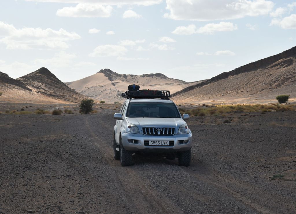
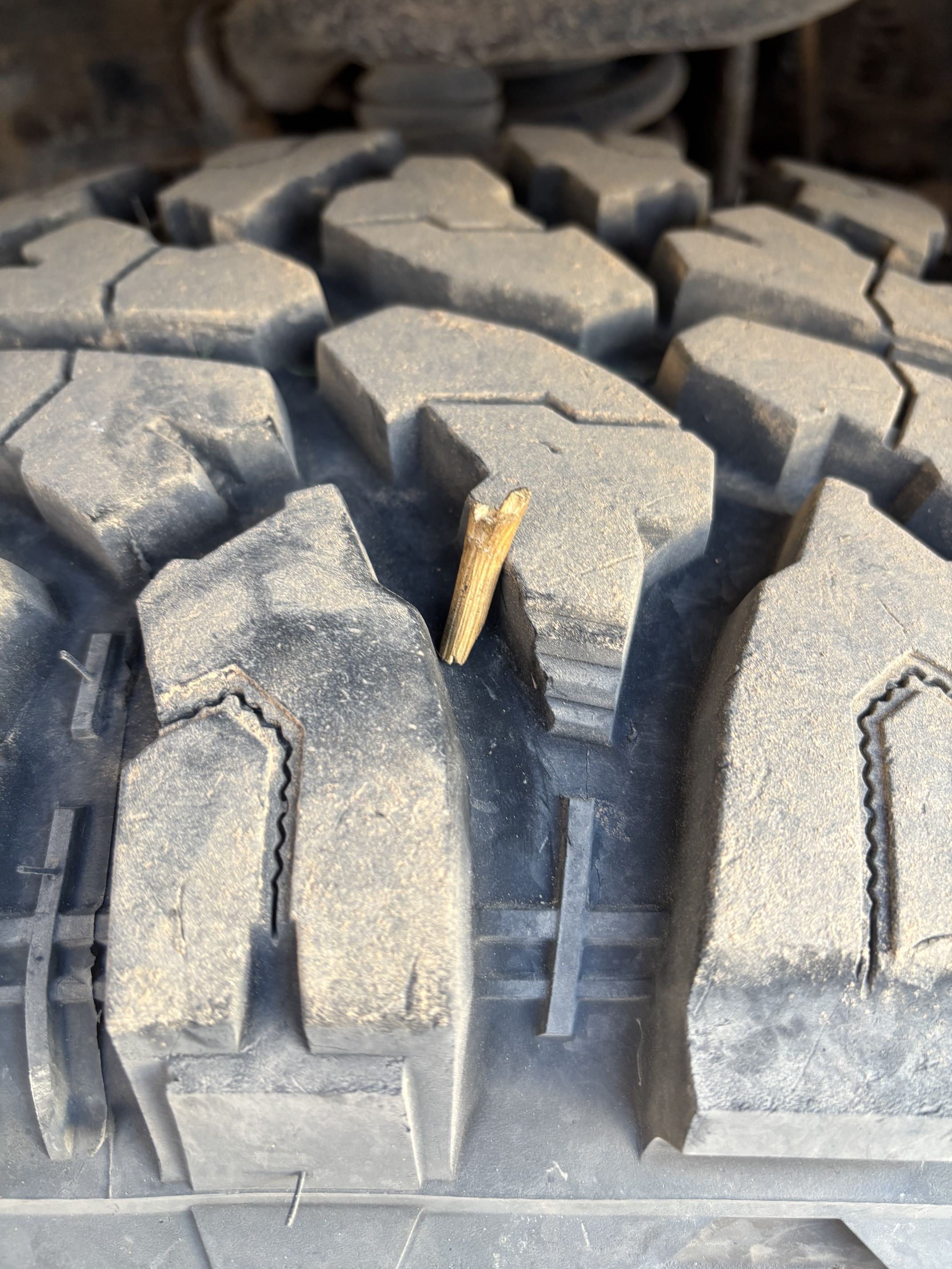
A broad range of 4×4 skills are needed, quite possibly including puncture repairs amongst the sharp upturned volcanic rocks and the ubiquitous hard wood wait-a-while thorns.
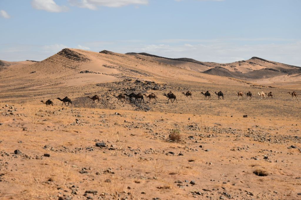
Human habitation is very sparse, even the Amazigh nomads struggle to sustain permanent camps down amongst the acacia trees in the southern reaches. The combination of high heat, arid climate and limited vegetation mean wild camels are the most commonly seen residents.
Moving west, there is an abrupt change of scenery as the trail enters the Anti-Atlas region.
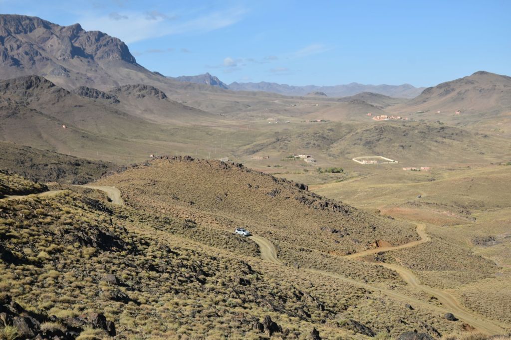
Movement is steady across the mountain region tracks which are covered with loose broken rocks, some round and weather eroded, some sharp. Small re-entrants carve deep ditches across the track, requiring slow speed and central differential locking to avoid unnecessary wheel spin as the vehicle weight transfers between the front and rear axles.
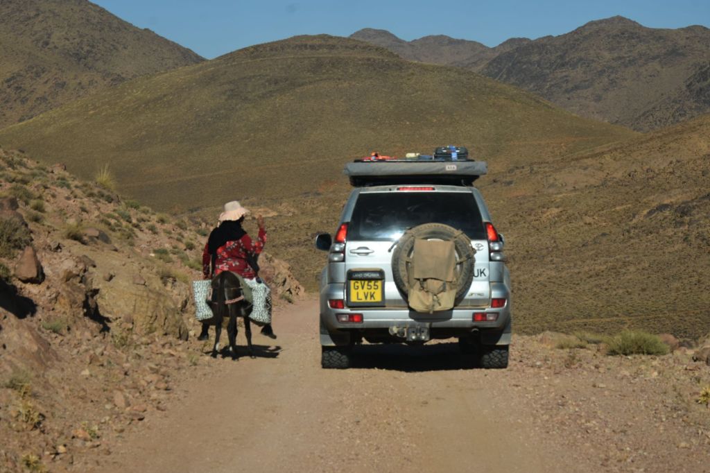
The chains of sandstone escarpments and massifs dictate the route as it threads across watershed lines and through mountain passes. Largely unchanged since the Paleolithic era 500 million years ago, a sedimentary layer of pre Cambrian rocks sits on top of a ‘basement’ rock layer formed at the very beginnings of Africa as a land mass. The extra altitude here brings a temperate climate, creating a vibrant ecosystem of acacia scrublands and hardy grasses.
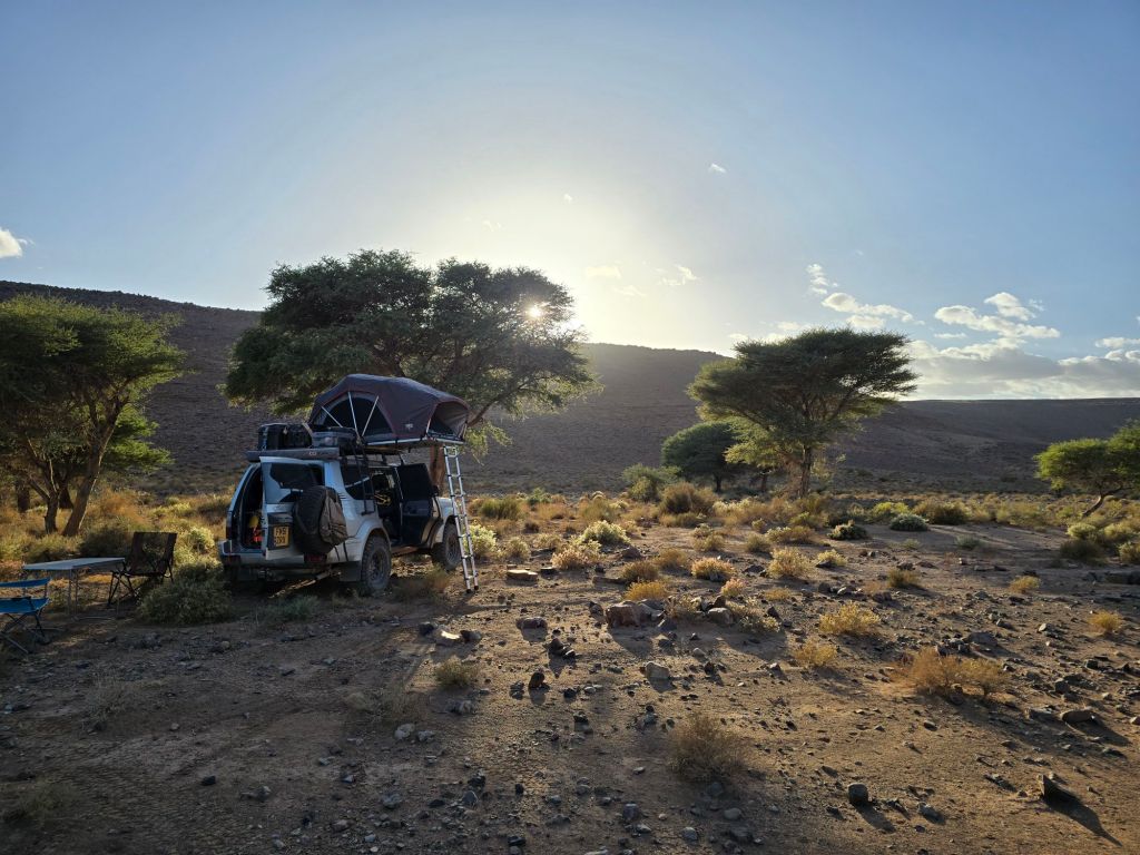
Descending south and west, the route enters the plains around Zagora and Iriqui. Much hotter, this area is a renowned rally destination due to the southern sand flats around the Lake Iriki claypan and the many dune systems dotted around.
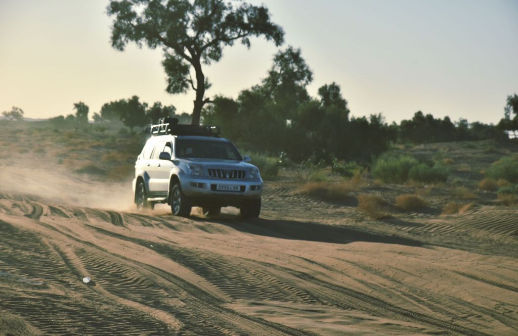
Excellent progress can be made across the wide expanses of the Iriki basin, navigating across hard silt and sand, by picking up tracks heading the right direction and switching them as needed to stay on course. There is a ‘Zone Interdit’ to the south, a defensive land buffer before the Algerian border, and Moroccan military checkpoints control the south and west edges of the pan.
Pushing on west, the TMT follows high quality Moroccan tarmac before heading off-road into the area of Jebel Tawzart. Seriously committing mountain tracks meant slow, very precise driving across extremely broken ground, at altitudes approaching 2000m with occasional exposure to sheer drops.
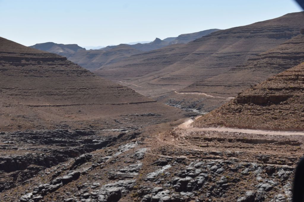
There were very few car tracks visible, most transport being local, or motorcycle. This extremely remote area sees no tourism, perhaps only a few adventurous travellers, and is still rebuilding itself from a major earthquake in 2023. A certain respectful sensitivity is required here.
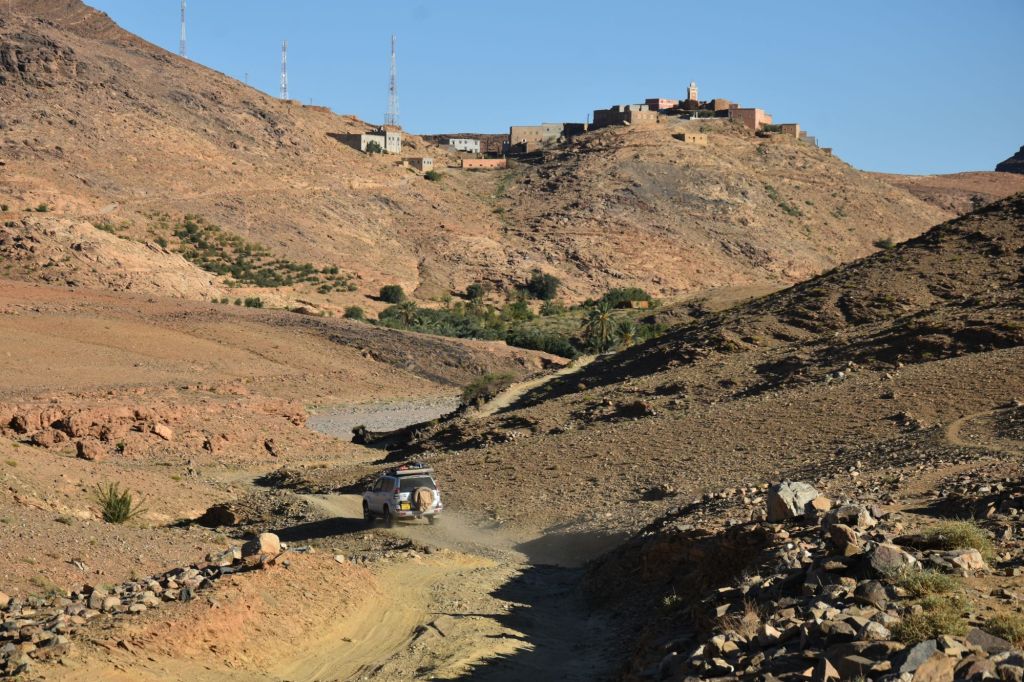
Moving south from Tata, and deviating from the TMT by tens of kilometers to the south, there is an excellent 4×4 trail, comprised of easy gravel, low wadis and small sand sections, oriented towards the south west, parallel with the Draa river valley.
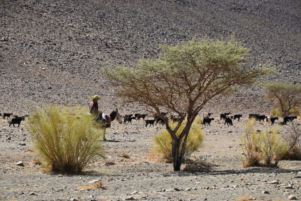
This 4×4 track describes a loose arc south to Akka where the TMT can be picked up again for continuation of the journey south west, channelled through a vast rock valley.
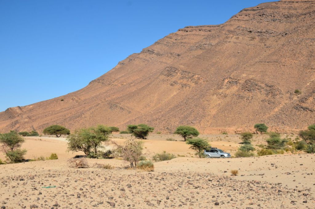
Holding a south west bearing and steadily making headway, the Draa valley and parallel ridges shape a 200 kilometer stretch of the trail. The going is good, vast and approximates genuine desert conditions, with mixed open sand, gravel, and dry lake bed encouraging progress, with the occasional rock field to contend with.
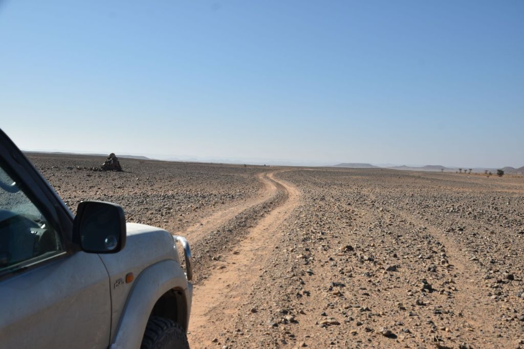
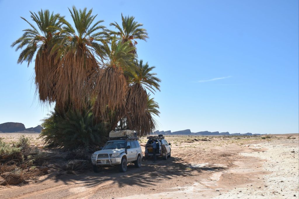
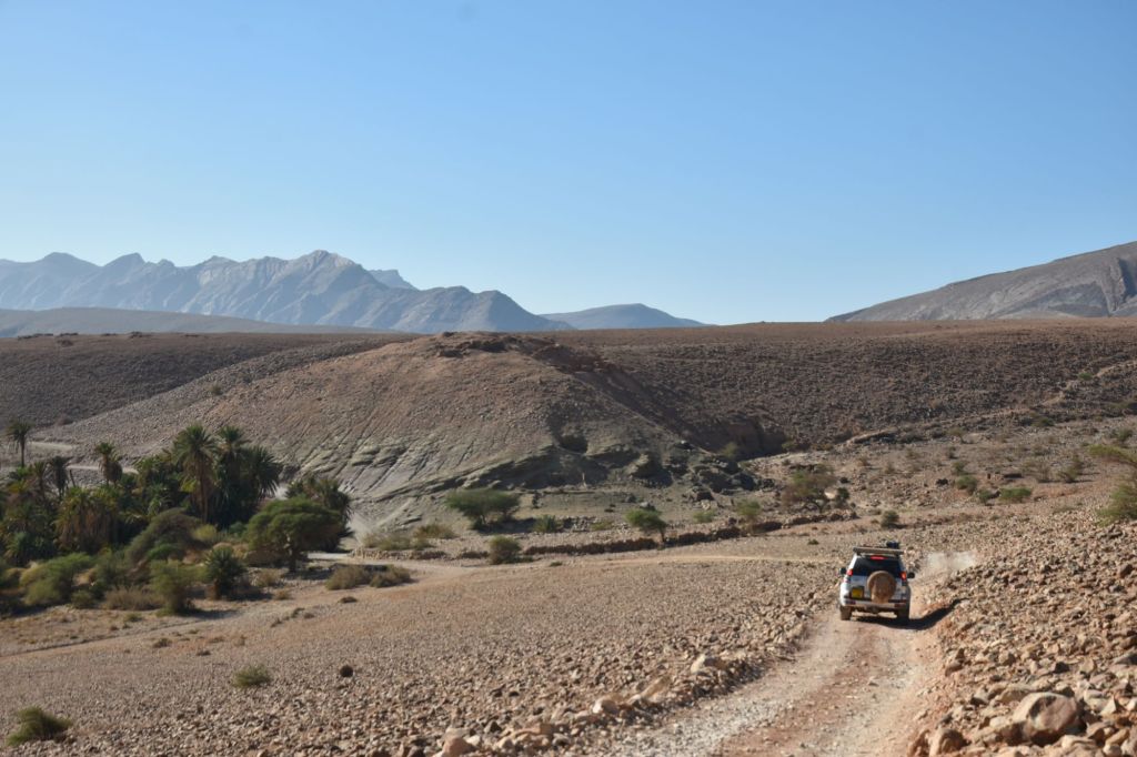
The proximity to the expanses of the Sahara to the south is indicated by rising temperatures in the day, even fewer human settlements, and the underlying rock giving way to softer sandstone and limestone with soft blown desert dust lying on top. By contrast, date palms around isolated oases are vibrant greens against the muted colours of this sun bleached land.
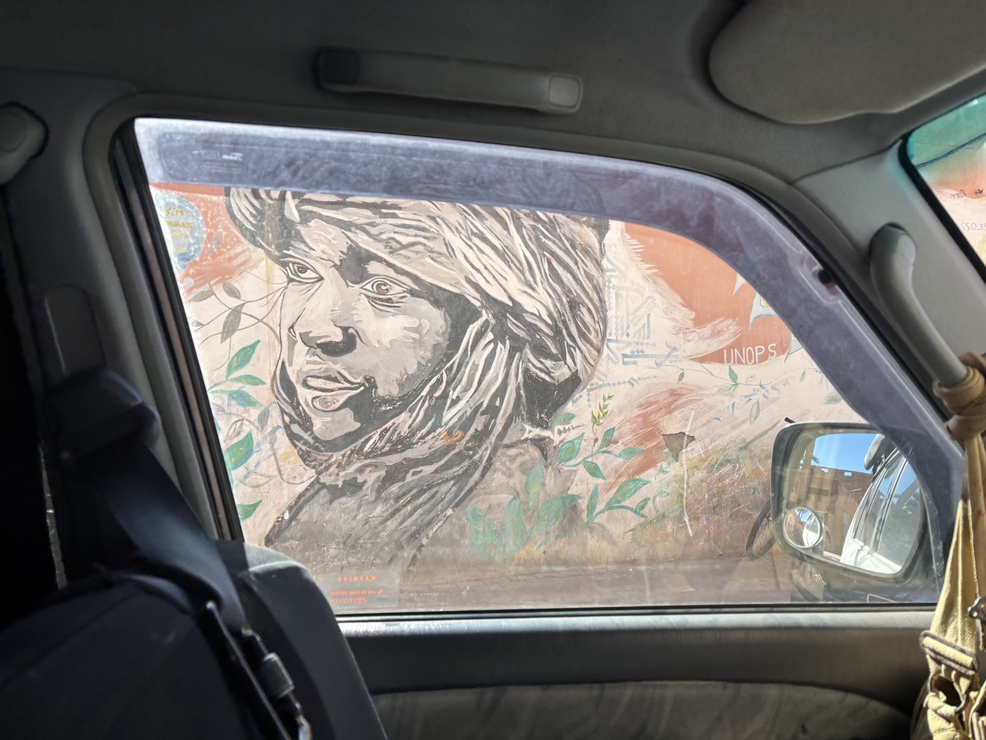
The local culture gives way to desert influences here, most settlement is around the small towns on the road network, which all are in a semi-permanent state of mud wall degradation and breeze block construction.
The final run down to the coast continues to challenge, with a mix of wilderness, tarmac, rock and gravel. Approaching Tan Tan the trail enters a water system, ensuring dusty and technical trails in the dry, and serious mud in the wet. Faire attention.
Covering around 2200 kilometers, with about 30 per cent of that on tarmac, this is a serious undertaking, requiring sound planning, good equipment, some grit and a sense of humour.